Getting to Chilhowee Campground
Chilhowee Campground is about 183 miles from the church, roughly a 3-hour drive.
If the map above doesn’t load, open it directly in Google Maps.
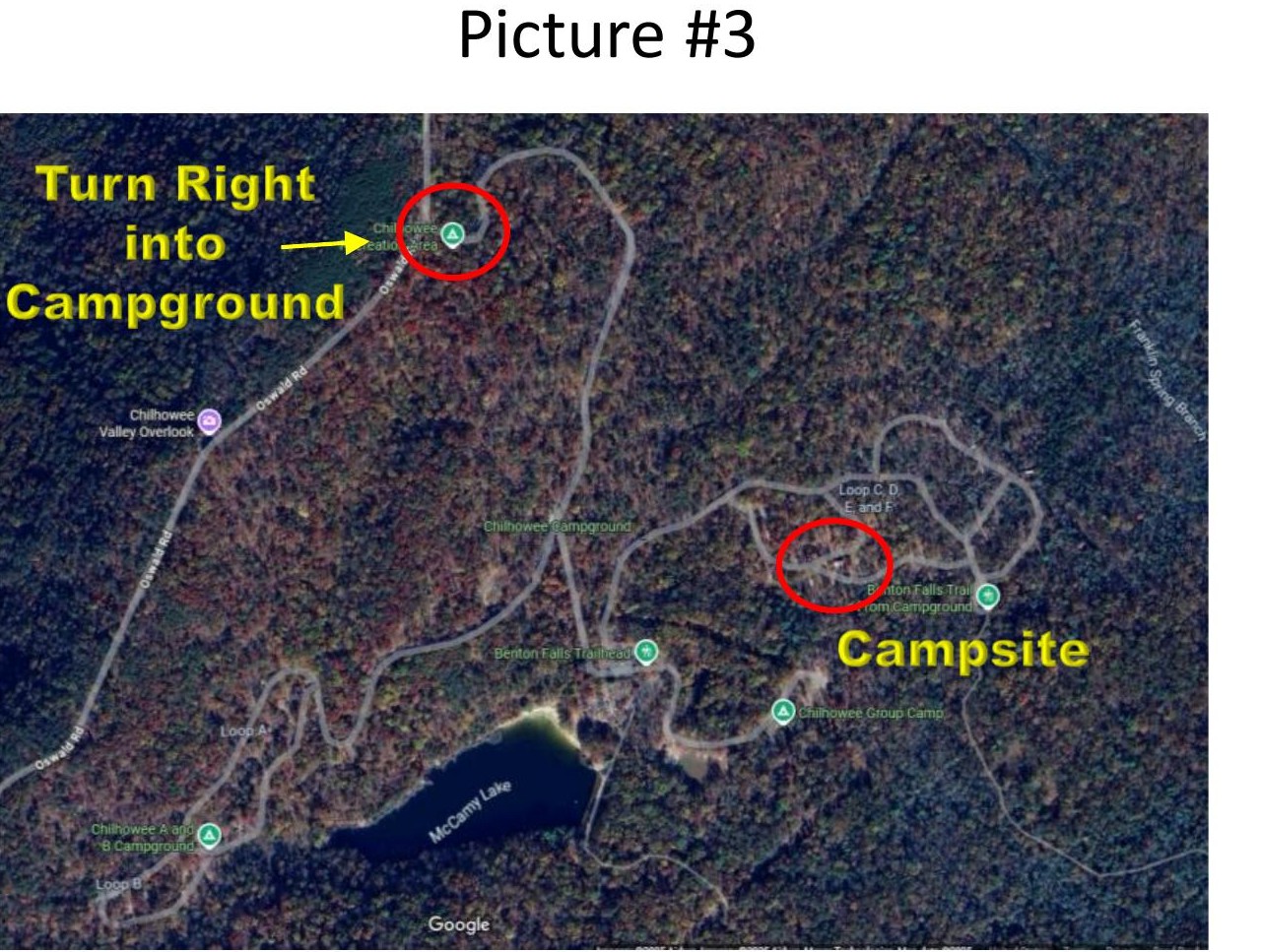
Our group site: We’re in the D Loop, Sites 36–43 of Chilhowee Group Campground — the same sites we use every year. The trailer always goes in Site 36. Full campground info and the interactive site map are on Recreation.gov.
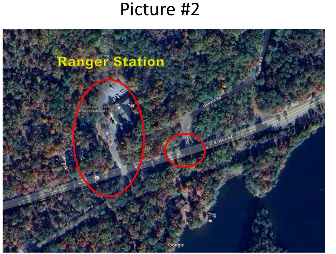
The key landmark to watch for:
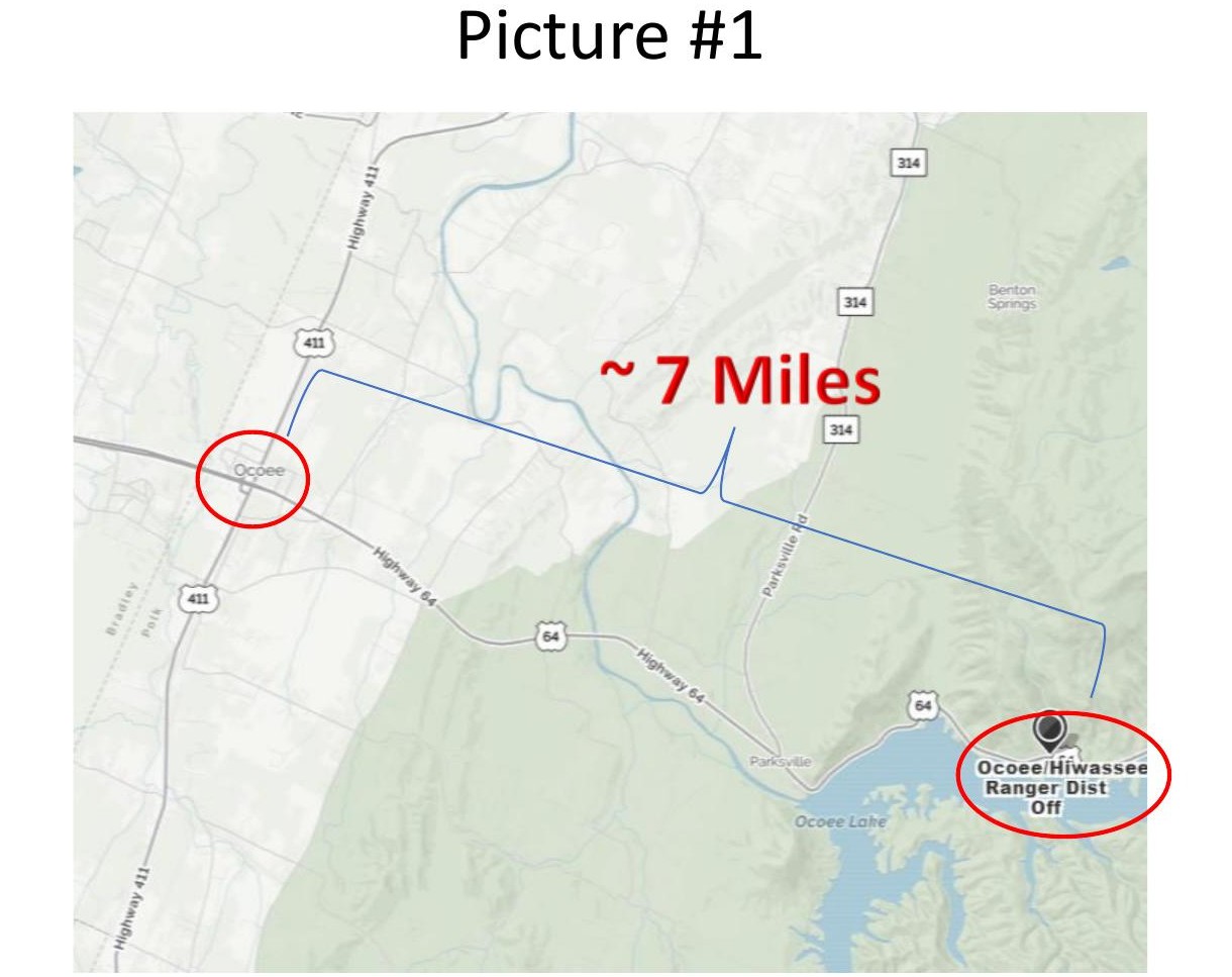
After the Ocoee Ranger Station, turn left onto paved Forest Road 77 (also called Oswald Road) and continue about 7.3 miles to the campground entrance, then turn right. If you end up on a gravel road, you’ve missed the turn. The whole route to the campground is paved.